

Show cache statistics
GO! GORCE# Przełęcz Przysłop Lubomierski - OP8J69
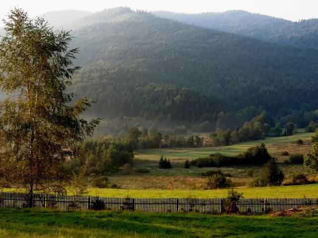
granica pomiędzy Beskidem Wyspowym a Gorcami
Owner:
Aikido
 Please log in to see the coordinates.
 29x Found
  0x Not found
  0 notes
  3 watchers
  Rated as: Excellent


 Cache attributes


 Description
PL
Description
PL

Przełęcz Przysłop Lubomierski 750 m n.p.m. tworzy geograficzną granice pomiędzy Beskidem Wyspowym a Gorcami. Z przełęczy rozciąga się rozległa panorama na dolinę rzeki Kamienicy i masyw Gorca 1228 m n.p.m.
 Additional hints
You must be logged-in to see additional hints
 Pictures
 Log entries:
29x
0x
0x
Log entries:
29x
0x
0x


