

 Please log in to see the coordinates.
 131x Found
  10x Not found
  6 notes
  6 watchers
  Rated as: Excellent
 8 x recommended


 Cache attributes


 Description
…:::::EN:::::…
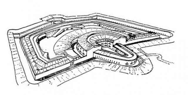
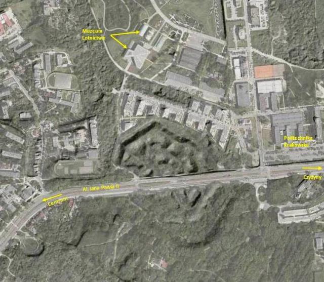
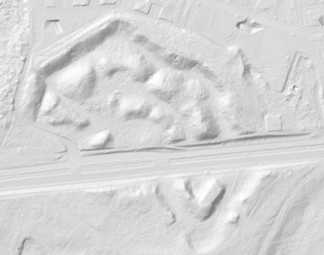
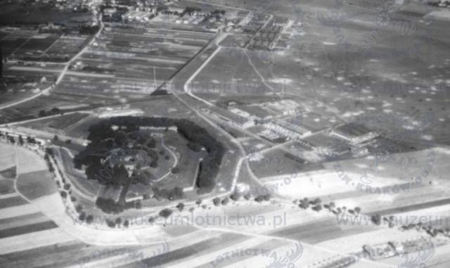
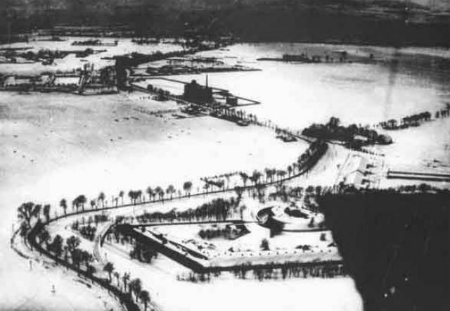
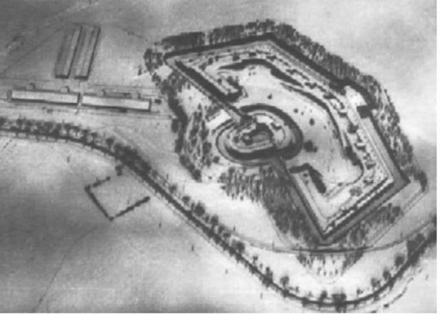
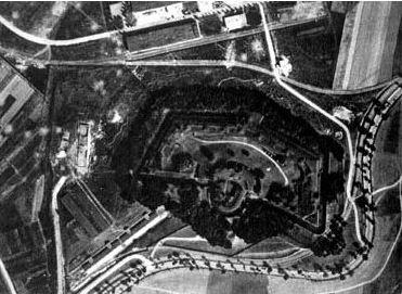
Fort XV "Pszorna" – one of the inner ring fort defense Krakow Fortress, built in 1864-1869. Destroyed in 1951 during the construction of the road to Nowa Huta – „Avenue of the 6 year plan” (now Avenue of John Paul II). Remains are located south of the Polish Aviation Museum in Polish Pilots Park.
It was an unusual redit fort, which is the transition to the fort artillery. Due to the development possibilities of artillery (range) put forward it further from the center than the previous forts. He had flattened, stretched across scratch with a low Redit artillery. Redit embankment was sheltered from the forehead in the form of a flat slope.
Fort had to defend an important Lublin route, from the Russian occupation, but very briefly was worth fighting, due to the invention of a new means of warfare - threaded works. It turned out that against this weapon Redit forts (to which belonged), were ineffective.
On the path , next to the tram stop , you can still see the remains of the fort .
Certificates for the first three finders .
 Pictures

 Log entries:
131x
10x
6x
Log entries:
131x
10x
6x


