

Show cache statistics
 Please log in to see the coordinates.

 Rated as: n/a


 Cache attributes


 Description
PL
Description
PL
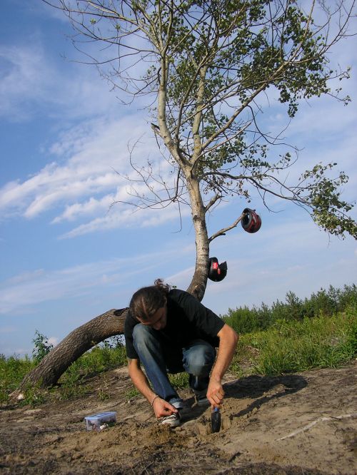
Miejsce to gorka, z ktorej widac panorame mojej "ojczyzny" 
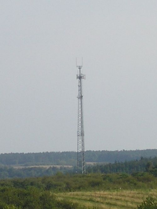
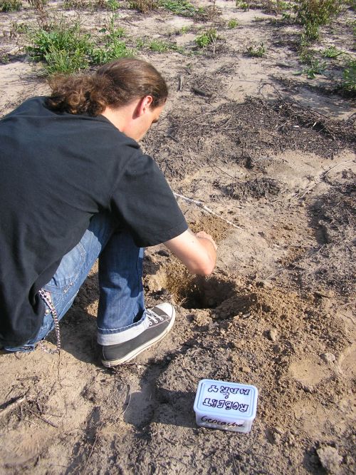
Po dotarciu na miejsce odlicz 4 kroki od drzewa w strone slupa ze zdjecia i kop ok 20 cm.
Powodzenia
 Additional hints
You must be logged-in to see additional hints
 Nature reserve areas
|
This geocache is probably placed in a nature protection area NATURA 2000
:
Przelom Wisly w Malopolsce - PLH060045 |

|
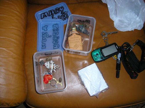
 Pictures
 Log entries:
 1x
1x
 0x
0x
 1x
1x


